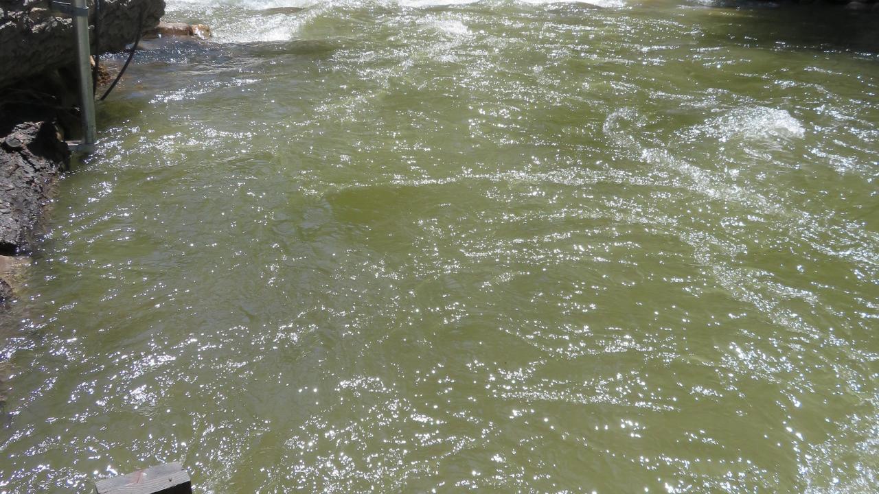
Flooding annually causes thousands of fatalities and billions of dollars in damage globally. Due to climate change, the frequency and magnitude of extreme flooding events is expected to increase. How do flow conditions, local geology, and infrastructure design interact to make certain flooding events more destructive? By building models that can capture this interaction, we can describe how infrastructure such as roads, bridges, and dam spillways will respond to extreme flooding events. Using the latest advances in computing technology, remote sensing, and unmanned aerial vehicle (UAV) technology, Dr. Gardner and his team of researchers in the UC Davis GeoSystems Laboratory are working to understand how floods, local geomorphology, and surrounding infrastructure behave as a system. Ultimately, this research will help guide infrastructure design to meet the evolving and potentially destructive influence of climate change.
Presenter:
Dr. Michael Gardner’s research focuses on quantifying how geologic setting and infrastructure design interact. This involves numerical models implemented in software that is capable of capturing the multiscale nature of these interactions. He is especially interested in natural hazard modeling and describing how infrastructure responds to this type of loading as an aggregated system. His research group incorporates the latest advances made in computing technology into open-source tools that can be used by the research community as well as practitioners. Additionally, his research group is working on ways to utilize advances made in remote sensing and UAV technology such that the data acquired from these technologies can be quickly processed and used to update model predictions.
Register here:
https://www.eventbrite.com/e/feb-8-infrastructure-resilience-in-the-face-of-extreme-flooding-tickets-785505567297